Identified building, Vice Beach
Papasco’s
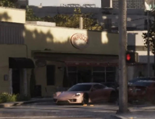
Papasco’s on the GTA VI map: building, sighted in official media, in the Vice Beach neighborhood, the city of Vice City.
The essentials
On the GTA VI map, Papasco’s is listed as a building, in the Vice Beach neighborhood, the city of Vice City. Visible or named in a trailer, a screenshot or an official image, with no description published by Rockstar: that is the map’s “Sighted in official media” status. Type recorded by the community: retail. The community sees it as a version of 4017 Prairie Ave, Miami Beach, FL 33140, USA, a real-world place that seems to have inspired it. An official screenshot shows it: it is reproduced above, with its credit. The closest places on the map: Eye & Dry (to the north), Diamond Dawgs (to the northeast), Parlor WO13 (assumed name, to the east).
Identity
| Name | Papasco’s |
|---|---|
| Category | Identified building (retail) |
| District | Vice Beach |
| City | Vice City |
| Status | Sighted in official media |
| Real-world place that seems to have inspired it | 4017 Prairie Ave, Miami Beach, FL 33140, USA (community finding) View on Google Maps ↗ |
| Position on the map | x 4216, y 2621 (center the map) |
| Source | Official screenshots and trailers; spotted by gtadb.org and its contributors (CC BY 4.0) |
On the Leonida map
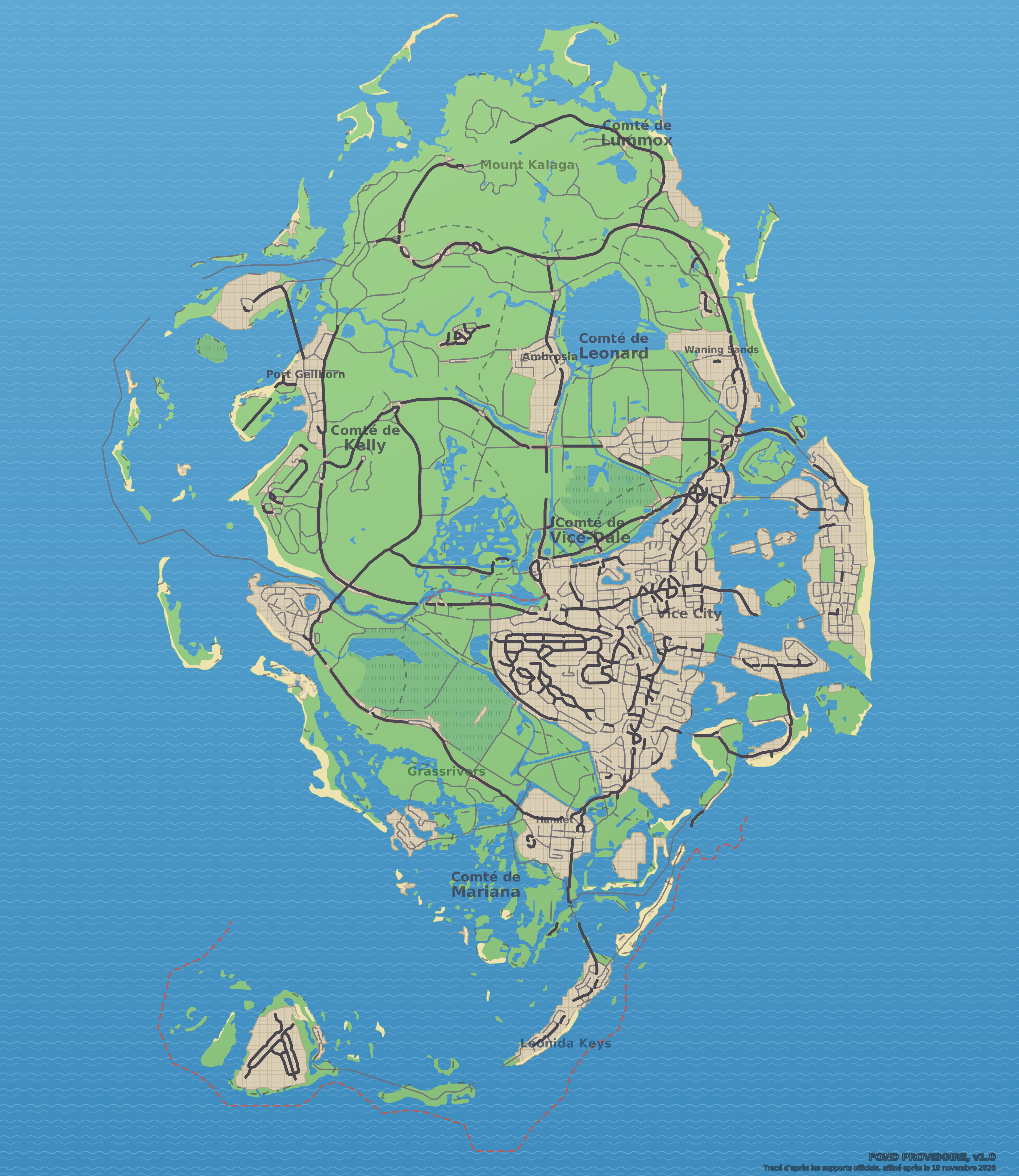
Data: GTA VI Landmarks Data, gtadb.org and its contributors, CC BY 4.0, modified for Leonidakit. License: creativecommons.org/licenses/by/4.0
Closest places on the map
Report an error on this pageWhat’s confirmed and how we check itSources and credits
The calculator
How much playtime to settle around here?
A house, a shop, a garage: enter the price you have in mind, your money and what you earn per session, and the calculator tells you how long it takes.