County
Lummox County
County in Leonida: 64 places spotted on the GTA VI map, 33 with a known in-game name, 11 with an official screenshot.
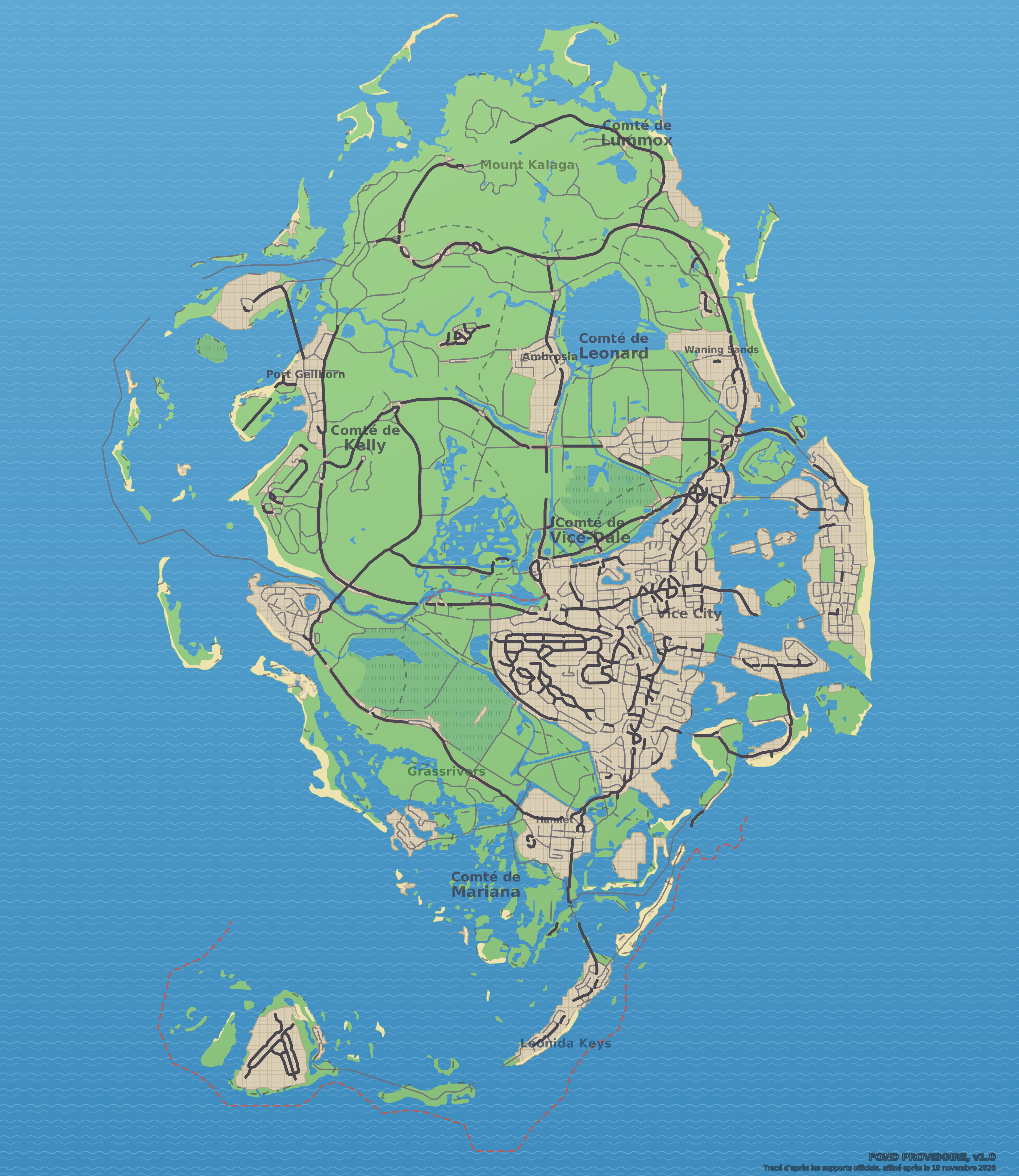 Lummox County“Maple Syrup Hill”Dam (presumed name)LakeLakeRiverEgmont Key (real name)Alligator Point (real name)Big Grass Island (real name)North Ronaldsay (real name)Building L1935Southern Harbor Marina (real name)Building L2521Footbridge
The essentials
County in northern Leonida. Includes Mount Kalaga National Park. Each place below has its page: name, status, real-world place that seems to have inspired it, neighbors and position.
Spotted places, by category
Notable place (1)
- Fort Clinch (real name)Community reconstruction
Transport places (10)
- AirfieldCommunity reconstruction, Blue Ridge Skyport
- RailyardCommunity reconstruction
- Train BridgeSighted in official media
- Train StationCommunity reconstruction
- Train Tunnel (marker L1849)Sighted in official media
- Train Tunnel (marker L2649)Sighted in official media
- Train Tunnel (marker L2650)Sighted in official media
- Train Tunnel (marker L2651)Sighted in official media
- Train Tunnel (marker L2652)Sighted in official media
- TunnelSighted in official media
Natural areas (25)
- “Maple Syrup Hill”Sighted in official media
- “Mount Leonida”Sighted in official media
- “Mount Redhill”Sighted in official media
- Alligator Point (real name)Sighted in official media
- Building L1853Sighted in official media
- Building L1935Sighted in official media
- Building L2653Sighted in official media
- Big Grass Island (real name)Community reconstruction
- Black Rock Beach (real name)Community reconstruction
- Domed HillsCommunity reconstruction
- Egmont Key (real name)Community reconstruction
- Lake (marker L2490)Community reconstruction, Lake Kissimmee
- Lake (marker L2494)Sighted in official media
- Lake (marker L2497)Sighted in official media
- MGV3+324 Yulee (real name)Community reconstruction
- Mount KalagaSighted in official media, Table Rock Mountain
- North Ronaldsay (real name)Community reconstruction
- Passage Key (real name)Community reconstruction
- PeninsulaCommunity reconstruction, Lake Wood Park
- River (marker L1920)Sighted in official media
- River (marker L1921)Sighted in official media
- River (marker L2647)Sighted in official media
- River (marker L2656)Sighted in official media
- River (marker L2660)Sighted in official media
- WaterfallCommunity reconstruction, Amicalola Falls
Identified buildings (28)
- “Mount Lummox”Sighted in official media
- 3088 Barrancas Ave (real name)Community reconstruction
- Advanced Yachtworks (real name)Community reconstruction
- Building L1602Sighted in official media
- Building L2001Sighted in official media
- Building L2521Sighted in official media
- Building L2531Sighted in official media
- Building L2851Sighted in official media
- Building L3275Community reconstruction
- BridgeSighted in official media, PJQ3+JRH Tallulah Falls
- DamSighted in official media, Tallulah Falls Dam
- Dam (presumed name)Community reconstruction, Blue Ridge Dam
- Footbridge (marker L2937)Community reconstruction
- Footbridge (marker L2939)Sighted in official media, Amicalola Falls
- Jekyll Island (real name)Community reconstruction
- Lake (marker L2485)Sighted in official media
- Lake (marker L2488)Sighted in official media
- LighthouseCommunity reconstruction, XR22+R4V West Point
- Mahogany Mill Public Boat Ramp (real name)Community reconstruction
- Millport Pier (real name)Sighted in official media
- Pensacola Marine Center Ramp (real name)Community reconstruction
- PortCommunity reconstruction, 315 N 2nd St
- ReservoirSighted in official media
- Southern Harbor Marina (real name)Community reconstruction
- The General Store (real name)Community reconstruction
- The Oar House (real name)Community reconstruction
- Train Tunnel (marker L1531)Sighted in official media
- Train Tunnel (marker L2244)Sighted in official media
Report an error on this pageWhat’s confirmed and how we check itAll neighborhoods, cities and counties
The calculator
How much playtime to settle in this county?
A house, a shop, a garage: enter the price you have in mind, your money and what you earn per session, and the calculator tells you how long it takes.