Nature and terrain, Kelly County
“Lollipop Ridge”
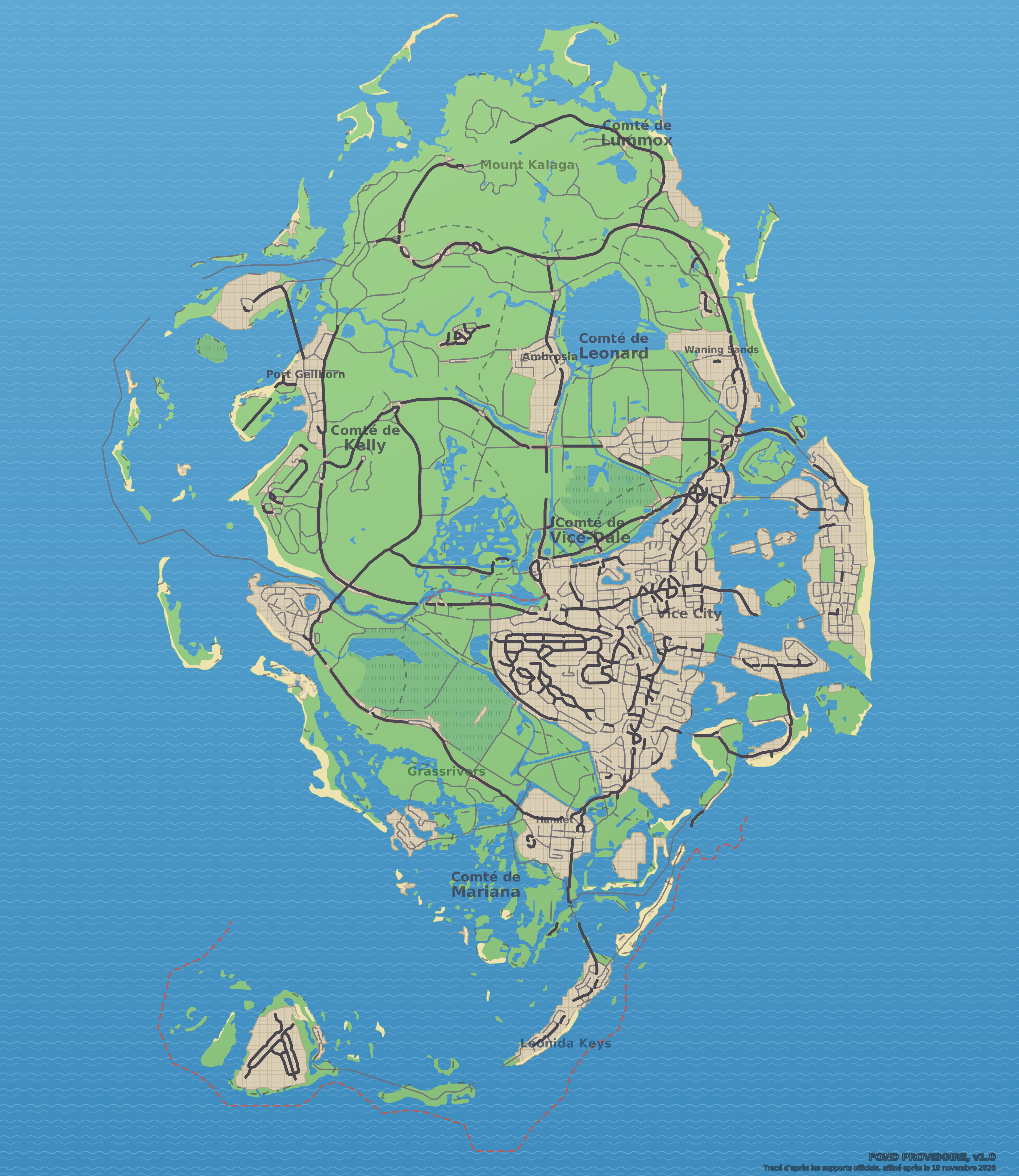
“Lollipop Ridge” on the GTA VI map: natural area, sighted in official media, in Kelly County.
The essentials
This natural area of Kelly County has no known in-game name: the community nicknames it “Lollipop Ridge”. Visible or named in a trailer, a screenshot or an official image, with no description published by Rockstar: that is the map’s “Sighted in official media” status. Type recorded by the community: natural. No real-world place has been matched to this spot yet. Close by, the map places Tucker’s Tower (to the southeast), River (to the northeast), King Spring (real name, to the south).
Identity
| Name | “Lollipop Ridge” (nickname given by the community, in-game name unknown) |
|---|---|
| Category | Nature and terrain (natural) |
| County | Kelly County |
| Status | Sighted in official media |
| Real-world place that seems to have inspired it | Not identified |
| Position on the map | x 2305, y 2136 (center the map) |
| Source | Official screenshots and trailers; spotted by gtadb.org and its contributors (CC BY 4.0) |
On the Leonida map
No official screenshot is linked to this place: the map preview above serves as its image.
Data: GTA VI Landmarks Data, gtadb.org and its contributors, CC BY 4.0, modified for Leonidakit. License: creativecommons.org/licenses/by/4.0
Closest places on the map
Report an error on this pageWhat’s confirmed and how we check itSources and credits
The calculator
How much playtime to settle around here?
A house, a shop, a garage: enter the price you have in mind, your money and what you earn per session, and the calculator tells you how long it takes.